Brisbane Valley Rail Trail · South East Queensland
Brisbane Valley Rail Trail: 161 km of country gravel
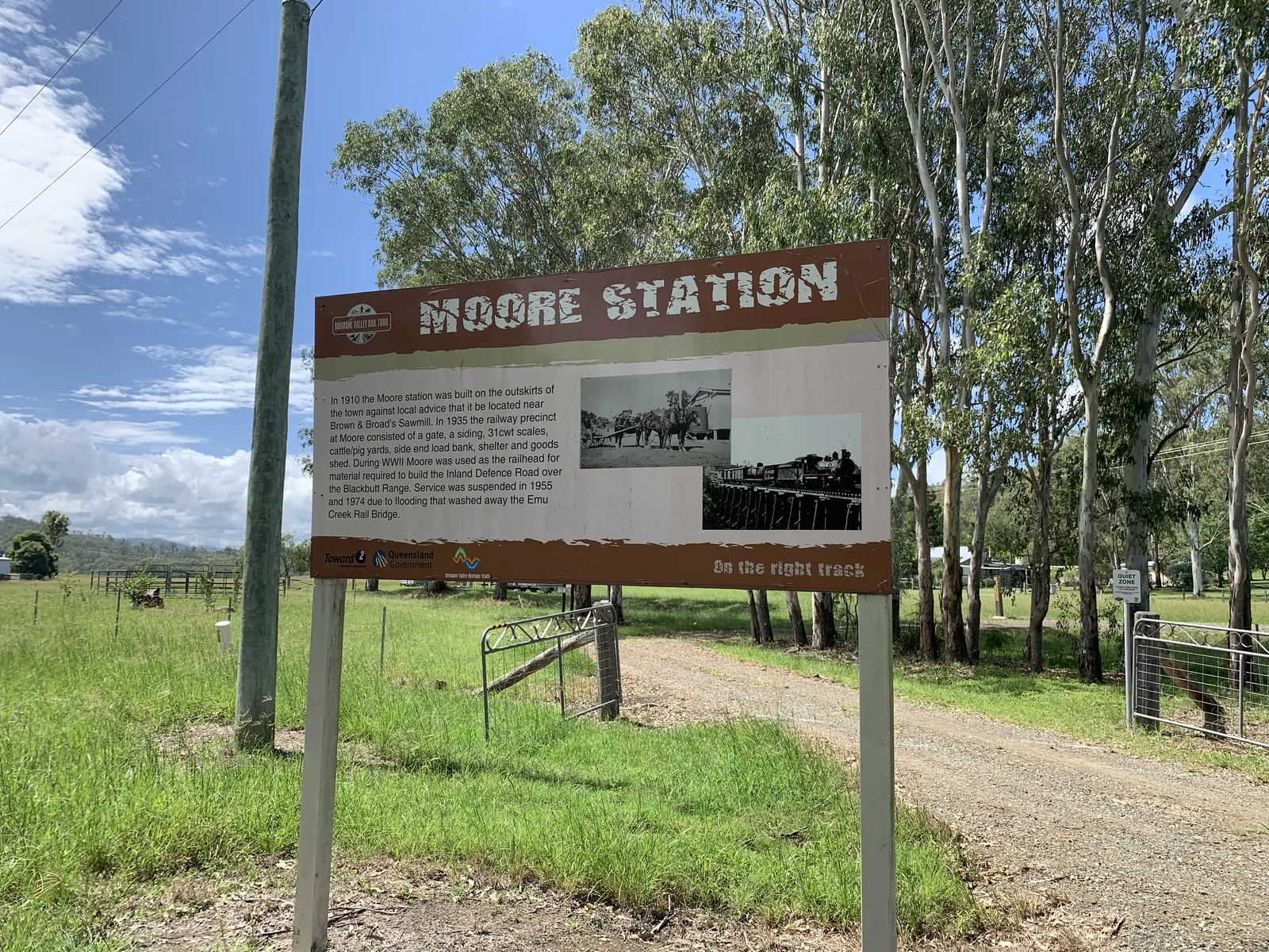
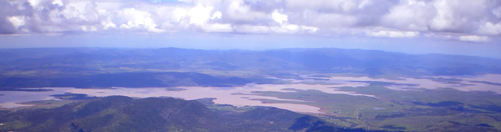
The Brisbane Valley Rail Trail runs 161 km from Wulkuraka, west of Ipswich, to Yarraman, through Fernvale, Lowood, Esk, Toogoolawah, Moore, Linville and Blackbutt. It is open to walkers, bike riders and horse riders. [S1]
Most of it is compacted gravel with the odd rocky section. The managers recommend a hybrid or mountain bike and not a road bike; the trail's online guide also suggests gravel bikes. [S1, S6]
- Where
- Brisbane Valley, QLD
- Good for
- Rail-trail riders, Gravel riders
The trail
Queensland's Department of Transport and Main Roads manages and maintains the trail, with the Ipswich, Somerset, South Burnett and Toowoomba councils. [S1]
The roughest part is Linville to Benarkin: rough gravel with rocky sections, uphill. Between Linville and Blackbutt the trail climbs the Blackbutt Range, with some moderately steep creek crossings. [S1, S4]
Legal e-bikes are allowed. Slow to 12 km/h when passing walkers, and leave gates as you find them. [S2]
Safety markers stand every kilometre. In an emergency call 000 (or 112 from a mobile) and quote the location ID on the nearest marker. [S2]
Choose a base
Overnight stops are spread along the trail, so you can break it into day stages. Paid camping is available in most towns, and there are free camping areas on the trail; camp only in designated areas. [S2, S3, S6]
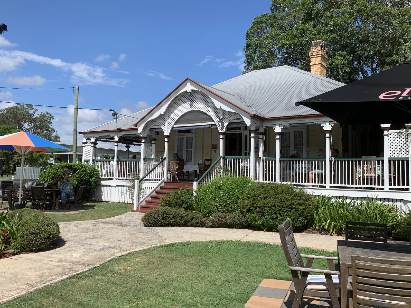
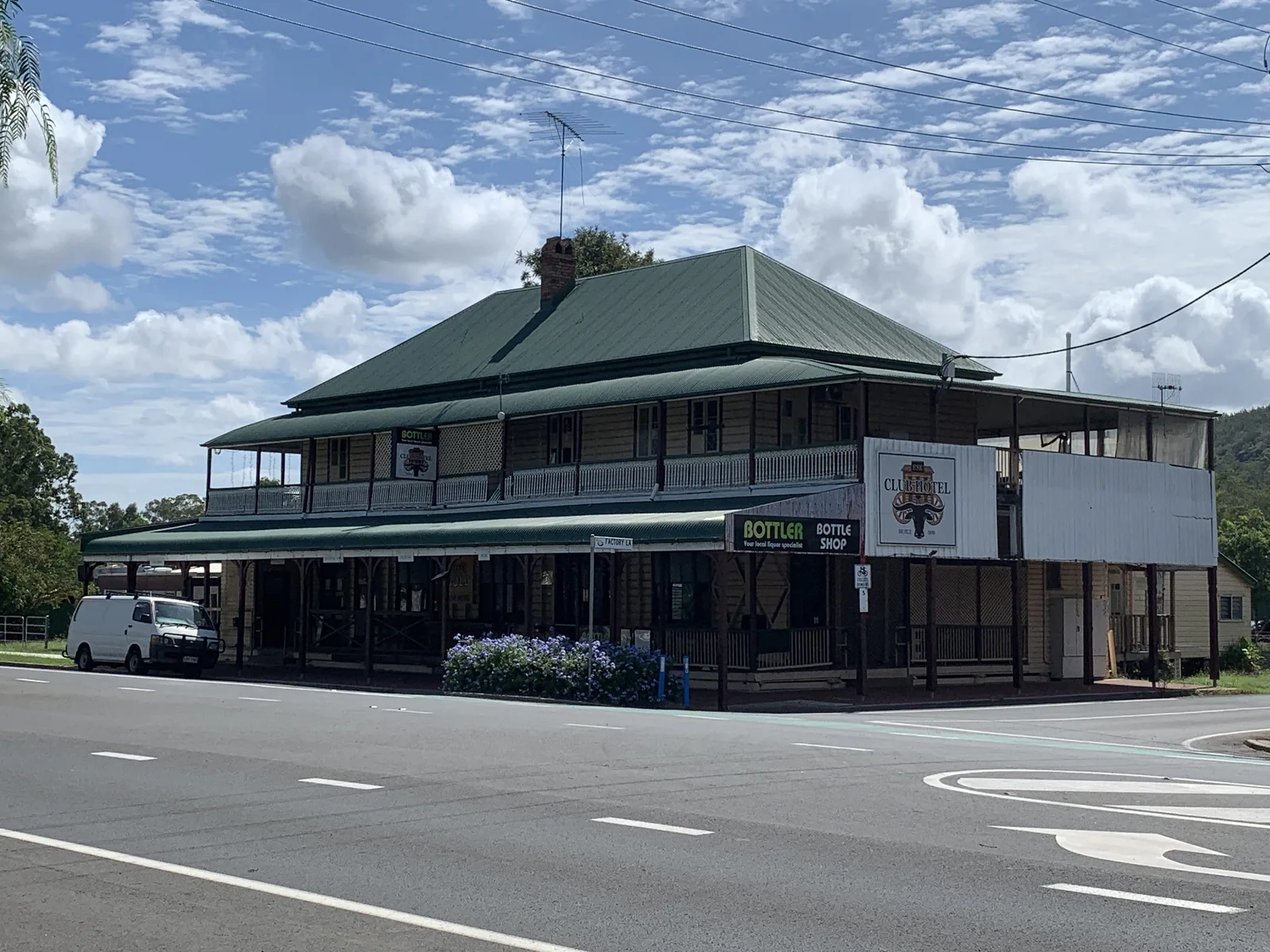
- Fernvale and Lowood: water in both towns, 8 km apart on an easy stretch. [S4]
- Esk and Toogoolawah: water in both, on the 19 km section between them. [S4]
- Moore and Linville: coin-operated hot showers in both, and water at Linville. [S4]
- Blackbutt and Yarraman: the northern end, past the climb from Linville. [S1, S4]
Rail Trail Refuge
Linville
Small, purpose-built accommodation for cyclists and other adventurers in Linville, which is on the trail. [S7]
- At the stay: 0 of 8 checked
- Nearby: 0 of 3 checked
11 of 11 not yet confirmed. Ask before booking: Secure bike storage, e-bike charging, and where to buy dinner in Linville.
Not yet rated — 0 of 11 checkedSee all 11 checks
A score appears once at least 70% of the facilities below are confirmed. Unconfirmed items never count against the stay.
- Secure bike storage Not yet confirmedNot yet confirmed — ask before booking
- Ride access Not yet confirmedNot yet confirmed — ask before booking
- Bike wash area Not yet confirmedNot yet confirmed — ask before booking
- Tools, pump or repair stand Not yet confirmedNot yet confirmed — ask before booking
- Ride-day food Not yet confirmedNot yet confirmed — ask before booking
- Kit laundry or drying Not yet confirmedNot yet confirmed — ask before booking
- E-bike charging Not yet confirmedNot yet confirmed — ask before booking
- Flexible timing Not yet confirmedNot yet confirmed — ask before booking
- Bike shop with a mechanic Not yet confirmedNot yet confirmed — ask before booking
- Coffee shop Not yet confirmedNot yet confirmed — ask before booking
- Pub, brewery or casual dining Not yet confirmedNot yet confirmed — ask before booking
Cycling facilities have not been confirmed unless stated. Ask about secure overnight bike storage, washing and drying kit, early breakfasts and e-bike charging before you book.
Sections to ride
Distances and grades as Experience Somerset lists them. Pick sections that match your fitness, and check trail works before you go. [S4, S2]
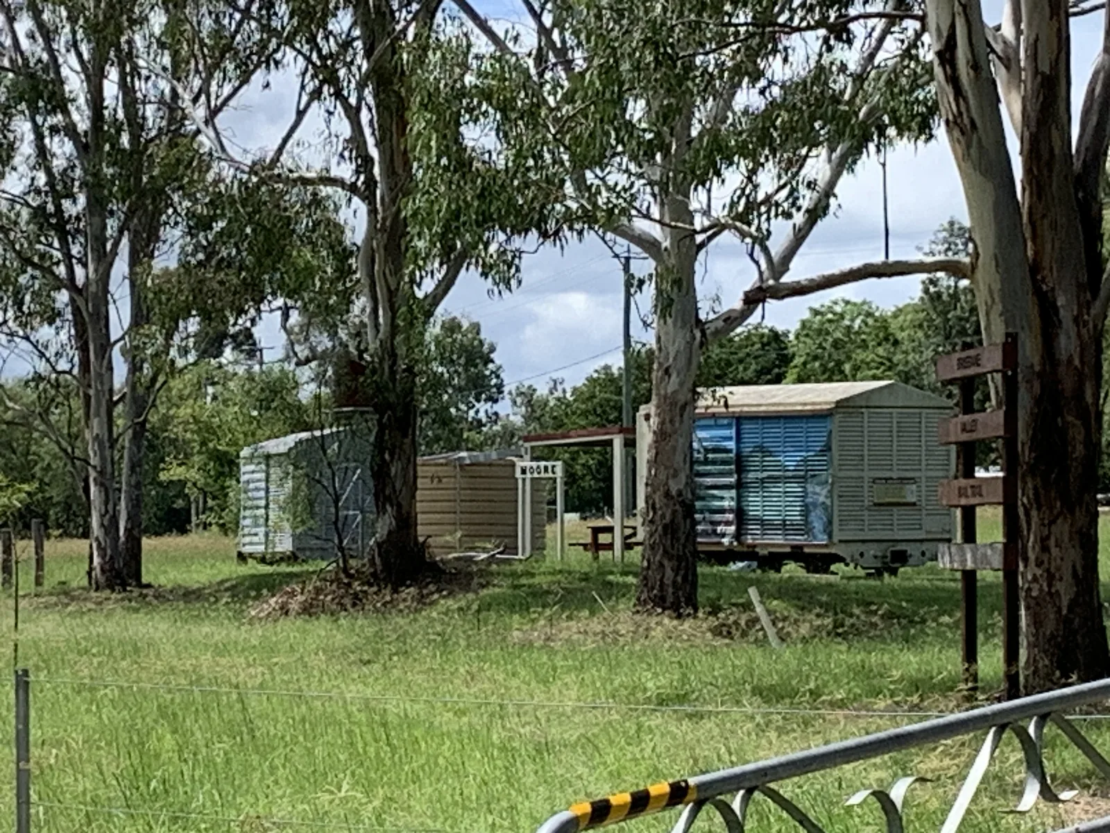
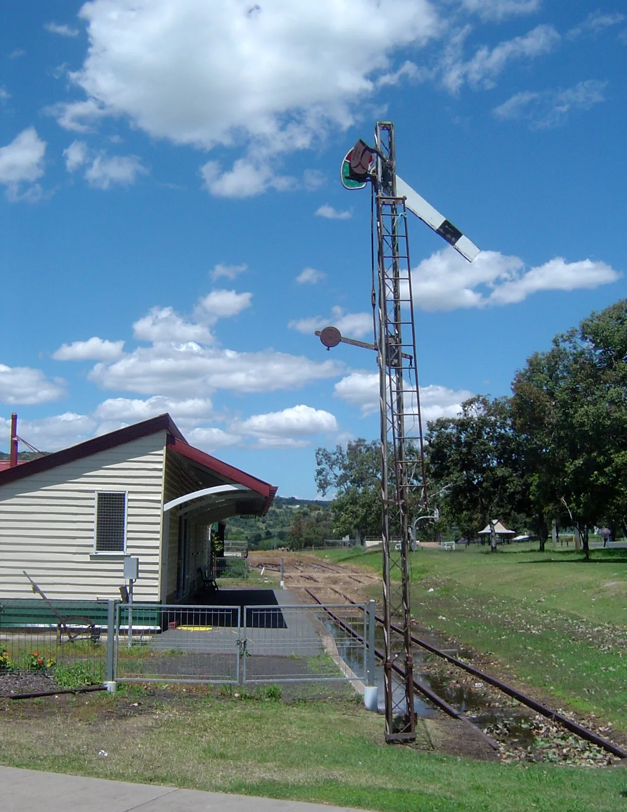
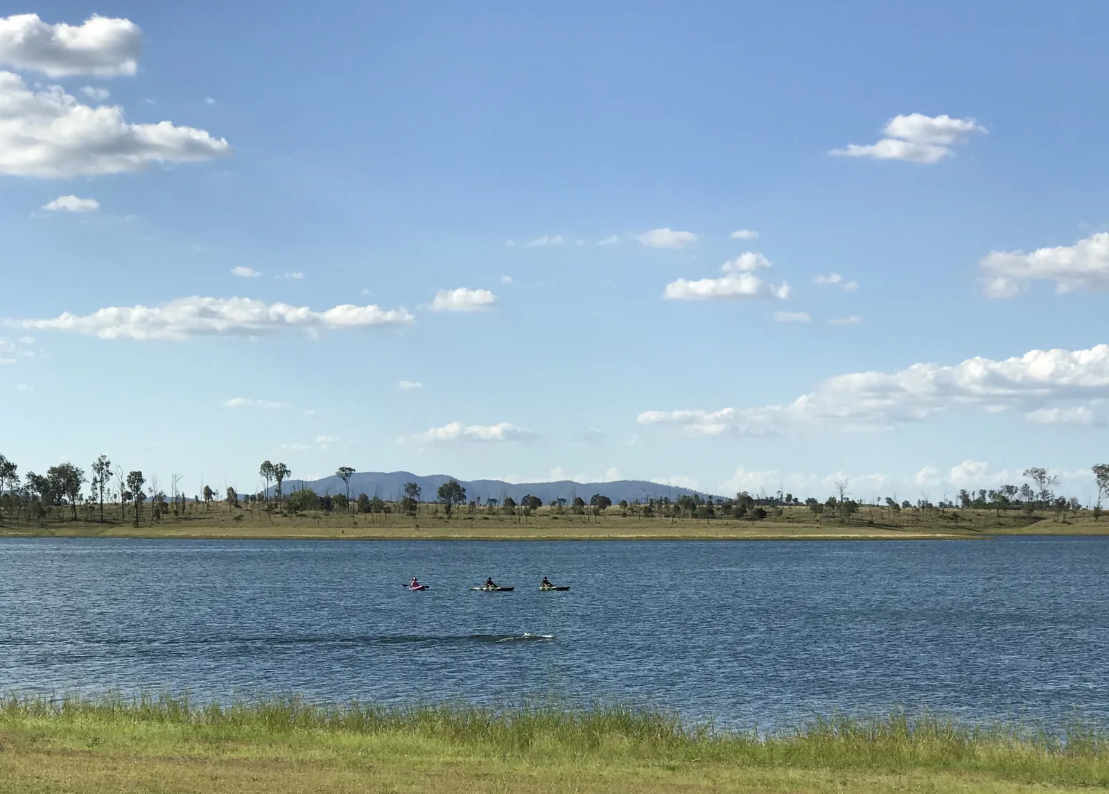
The whole trail, Wulkuraka to Yarraman
- Distance
- 161 km
- Surface
- Compacted gravel with rocky sections
- Difficulty
- Varies by section; one steep, rough climb
Mostly compacted gravel. Between Linville and Blackbutt it climbs the Blackbutt Range, and the Linville to Benarkin section is rough and uphill. [S1, S4]
Fernvale to Lowood
- Distance
- 8 km
- Difficulty
- Low to moderate; easy grade and surface
Water at Fernvale and Lowood. [S4]
Toogoolawah to Harlin
- Distance
- 14 km
- Difficulty
- Easy grade and surface
Water at Toogoolawah, and a shade shelter at the former Yimbun station site and at Harlin. [S4]
Harlin to Moore
- Distance
- 13 km
- Difficulty
- Easy grade and surface
Coin-operated hot showers at Moore, at the end of the section. [S4]
Coominya to Esk
- Distance
- 24 km
- Difficulty
- Moderate to high fitness needed
Water at Esk, and shade shelters at Logan Creek and Sandy Creek. [S4]
Events within 100 km
Rides and races in the Roveloa calendar whose host town is within 100 km of Wulkuraka, Fernvale, Lowood, Esk, Toogoolawah, Moore, Linville, Blackbutt or Yarraman, measured in a straight line between town centres. Dates and details are the organisers’; check the official page before you plan around one.
29 Nov 2026
Buderim 9 2026
Buderim, QLD · about 80 km from Linville
Details in the calendar: Buderim 9 2026 · Official event page
9–11 Apr 2027
XCO National Series Rounds 5–6
Grandchester, QLD · about 25 km from Lowood
Details in the calendar: XCO National Series Rounds 5–6 · Official event page
Getting there with a bike
A direct train runs from Brisbane Central to Wulkuraka, where the trail starts. The Wulkuraka trailhead at 163 Grace Street has free monitored parking, toilets and shelters. [S3, S1]
Bikes can travel on South East Queensland trains. On services between Ipswich and Rosewood, travel in the first carriage and board through the first door; elsewhere, use the first or last carriage of a six-car train. [S5]
There is also free parking at Borallon Station Road and the Fernvale visitor centre. Shuttle services can drop you off or collect you anywhere on the trail, so you can ride one way. [S3]
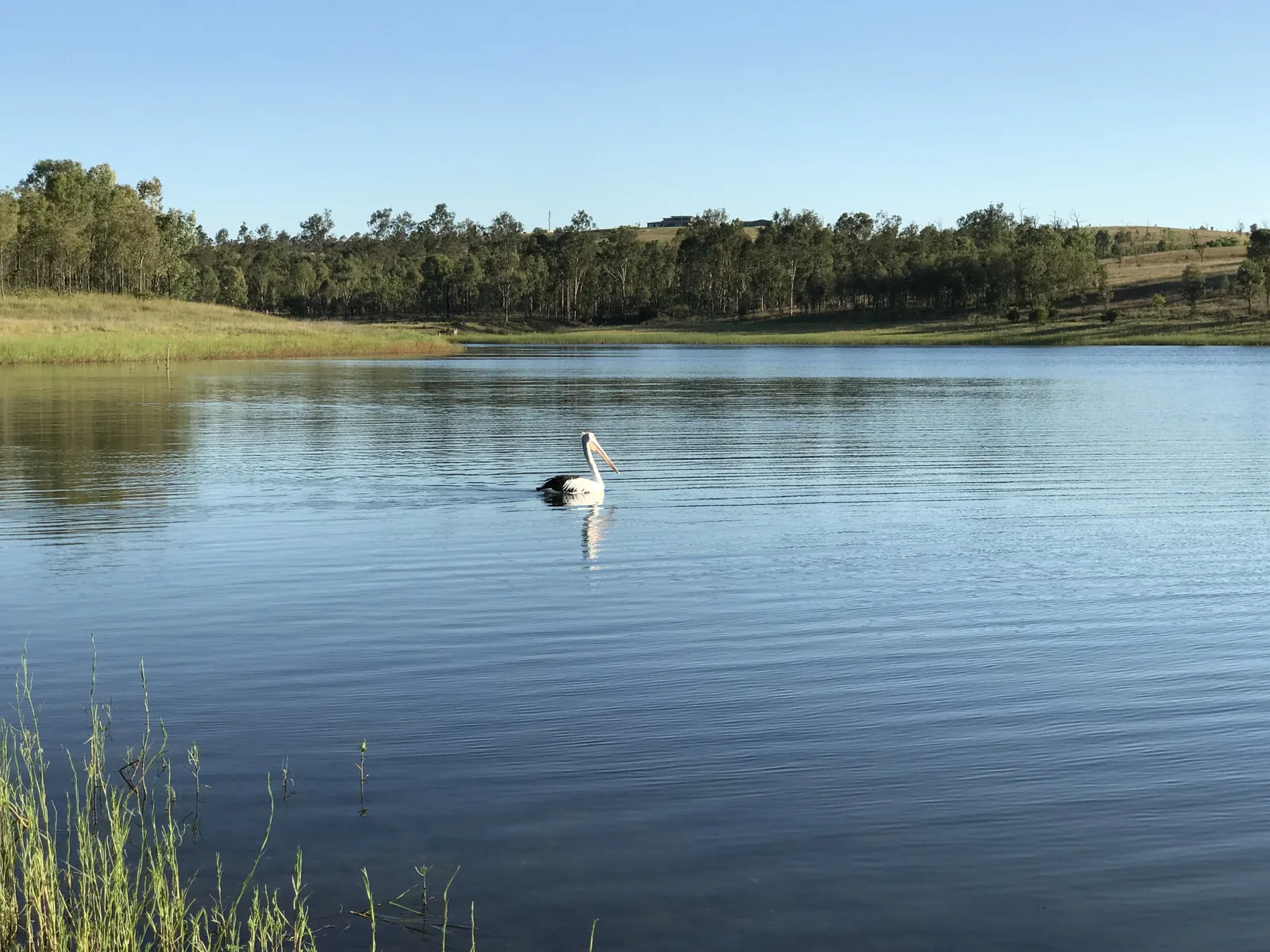
Before you ride
- Check the trail's works and closures page on the Department of Transport and Main Roads website just before you travel.
- Don't cross flooded creeks or causeways; they flood quickly and then recede.
- Carry enough water and food, and use the toilets in towns; there are few on the trail.
- Expect mobile blackspots; consider a personal locator beacon.
- Book a shuttle if you are riding one way, and check bike rules and train times.
- Ask your accommodation about secure bike storage and charging before you book.
Plan your rail-trail trip
Choose your sections, a base for each night and how you get back to the start.
Build a Brisbane Valley trip plan →Sources
Source information checked 2 November 2026. Check current access, services and event details directly before travelling.
- S1 — Queensland Department of Transport and Main Roads: About the Brisbane Valley Rail Trail
- S2 — Department of Transport and Main Roads: Need to know (trail works, safety, e-bikes)
- S3 — Department of Transport and Main Roads: Plan your trip (trains, parking, shuttles, camping)
- S4 — Experience Somerset: Brisbane Valley Rail Trail sections and facilities
- S5 — Queensland Rail: Travelling with your bike
- S6 — Brisbane Valley Rail Trail online guide: overnight stops
- S7 — Queensland.com: Rail Trail Refuge listing